DNP1: A Spatial Plan for the Parish
Policy DNP1: A Spatial Plan for the Parish
Inappropriate development will not be supported within the Metropolitan Green Belt and the High Weald National Landscape (AONB). The focus for new development in the Parish of Dormansland will be on reusing brownfield land and on realising other suitable development opportunities within the defined village envelope for Dormansland, as shown on the Policies Map. Development outside the defined village envelope boundary for Dormansland village will only be supported if it accords with all relevant national and development plan policies including those relating to the Green Belt and the High Weald National Landscape.
The policy establishes the essential spatial principles for development across the designated Neighbourhood Area. In doing so, it provides a policy bridge between the vision and objectives of the Neighbourhood Plan and all its other policies.
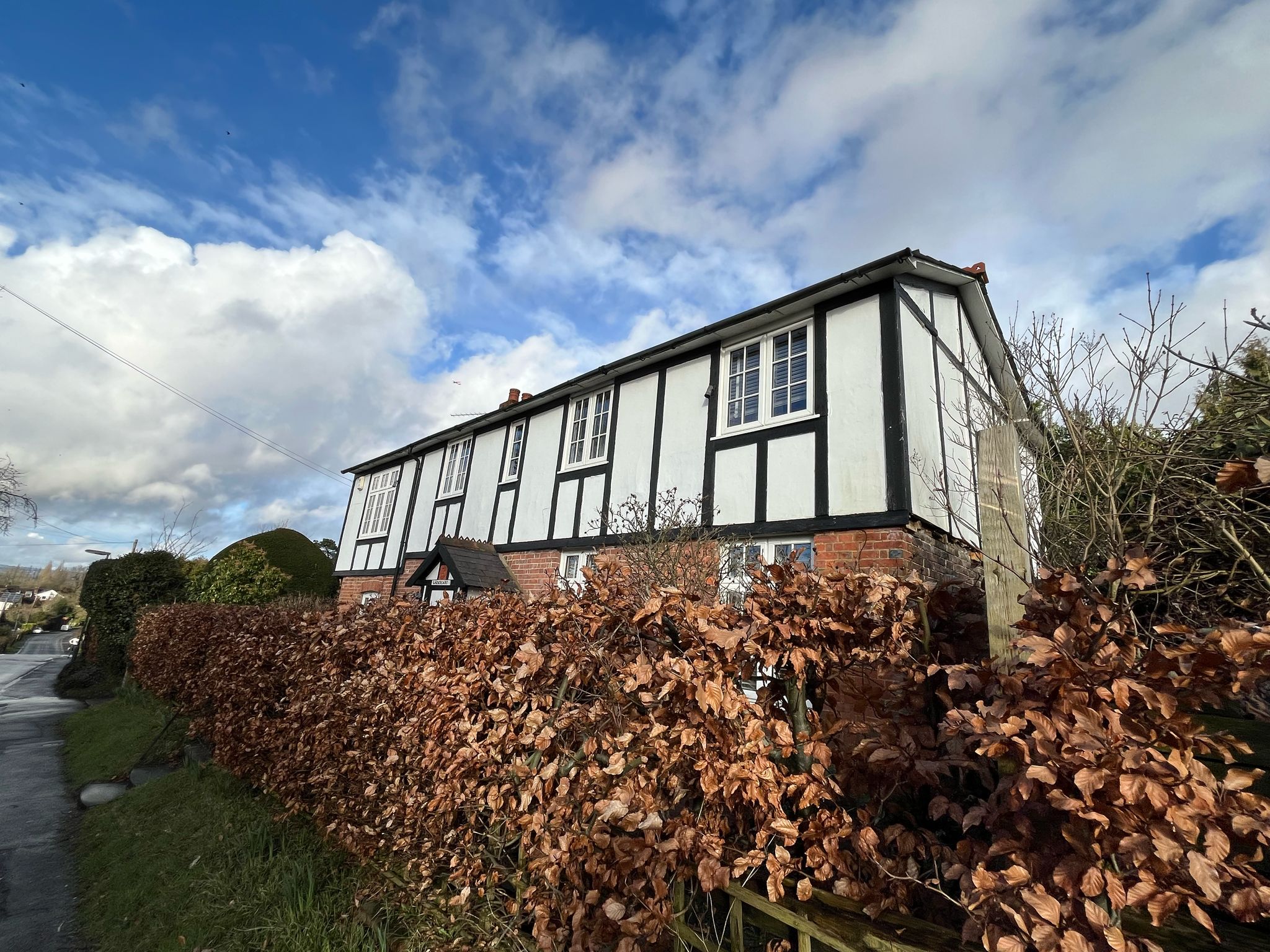
Critical to the success of the village will be maintaining its identity as a rural village within the Green Belt. There remain many opportunities within the village to reuse brownfield land (previously developed land) that will likely become available in the plan period, and potentially the utilisation of Grey Belt land. Focusing development here will contribute to retaining Dormansland village’s status as a sustainable location and reinforce the objectives of protecting Green Belt land and conserving and enhancing the High Weald National Landscape.
Inappropriate development is, by definition, harmful to the Green Belt and should not be approved except in very special circumstances. NPPF §154-§156 sets out the exceptions to this. Inappropriate developmeny in the National Landscape will be considered as per the provisions of §189 of the NPPF where the scale and extent of development should be limited within National Landscapes, and sensitively located and designed within the setting of the National Landscape to avoid or minimise impacts on the National Landscape. The policy therefore requires that proper attention is given to prioritising and realising opportunities as they arise within the village of Dormansland rather than utilise Green Belt land elsewhere within the Parish. Not only is this approach more efficient in using scarce land resource, but it will avoid creating unsustainable patterns of growth, poorly located from established infrastructure and therefore car dependant.